- What the Ha Giang Loop Is?
- Why Is Everyone Talking About It?
- 1. The scenery is genuinely next level
- 2. It feels adventurous, but still doable
- 3. The geopark gives it real weight
- 4. The route naturally fits into 3–4 days
- The Classic Route: What “the Loop” Usually Includes
- How Long Do You Need?
- 3D2N: the most popular short version
- 4D3N: the best balance
- 5D4N and longer: the slow-travel version
- How People Actually Do the Loop?
- Easy rider
- Self-ride motorbike
- Car or jeep tour
- Permits, Checkpoints, and Admin You Should Not Ignore
- Best Time to Go
- What to Expect Day to Day?
- The days can be long
- The weather changes fast
- Comfort is simple, not luxury-focused
- Safety and Responsibility
- Sample Itineraries
- 3D2N: short but iconic
- 4D3N: best overall pace
- What to Pack?
- FAQs
- What exactly is the Ha Giang Loop route?
- Is Ma Pi Leng Pass part of the Loop?
- Do I need a permit for checkpoints in Ha Giang?
- What’s the best month to do the Ha Giang Loop?
- Can I do the Loop without riding a motorbike myself?
- Conclusion
The Ha Giang Loop is a multi-day road-trip circuit through Vietnam’s far north, usually starting in Ha Giang City and looping through Quan Ba, Yen Minh, Dong Van, and Meo Vac before returning. Most travelers do it by motorbike, often with an easy rider as a passenger, though it can also be done by car. It has become one of Vietnam’s most talked-about trips because it combines dramatic mountain roads, karst scenery, ethnic minority highlands, and a route structure that fits neatly into a 3–4 day adventure.
It is not famous because of one single attraction. It is famous because the whole journey feels cinematic: limestone peaks, deep valleys, high passes, and cliff-edge roads that keep changing scene after scene. A big reason it stands out is that much of the route crosses the Dong Van Karst Plateau UNESCO Global Geopark, which UNESCO lists as a Global Geopark in Ha Giang Province.
What the Ha Giang Loop Is?
In plain English, the Ha Giang Loop is a mountain road circuit in northern Vietnam. It is not a theme-park route or one viewpoint with a ticket gate. It is a real overland journey through high mountain districts where the roads themselves are part of the experience. Vietnam Tourism’s official four-day Loop article describes the route as following QL4C northeast from Ha Giang and later returning southwest, with Day 1 ending in Yen Minh and the classic structure continuing through the main northern districts.
What makes it feel different from other Vietnam routes is the setting. This is more frontier road trip than city sightseeing. The geopark area spans Quan Ba, Yen Minh, Dong Van, and Meo Vac, sits at roughly 1,400 to 1,600 meters above sea level, and is known for limestone formations, narrow valleys, and culturally diverse highland communities.
Why Is Everyone Talking About It?
1. The scenery is genuinely next level
The Loop has the kind of scenery people usually associate with once-in-a-lifetime road trips. Vietnam Airlines’ Dong Van Karst Plateau guide describes the winding roads as revealing towering limestone cliffs, deep valleys, and cloud-hugged peaks. It also specifically identifies Ma Pi Leng Pass as one of the best panoramic sections.
2. It feels adventurous, but still doable
A big reason the Loop spread so widely among travelers is that you do not have to be an expert rider to experience it. Many travelers join guided tours and ride as an easy rider passenger, which makes the route accessible even to first-timers. Operator listings and current Loop guides routinely offer both motorbike and car options, and easy rider is now one of the most common formats.
3. The geopark gives it real weight
People are not only talking about it because it is pretty. UNESCO lists the Dong Van Karst Plateau as a UNESCO Global Geopark, and official tourism sources describe it as Vietnam’s first geological park, with geological history going back hundreds of millions of years. That gives the trip a level of landscape significance beyond “good views.”
4. The route naturally fits into 3–4 days
The Loop is also easy to talk about because it has a clear shape. Vietnam Tourism’s official article packages it as a four-day road trip, while many operators offer 3D2N and 4D3N versions built around the same core highlights. That makes it easy for travelers to understand and easy for operators to sell.
The Classic Route: What “the Loop” Usually Includes
The most common version of the Ha Giang Loop includes these core districts and towns:
-
Quan Ba
-
Yen Minh
-
Dong Van
-
Meo Vac
That sequence is strongly reflected in the official geopark coverage and in Vietnam Tourism’s Loop route.
The most famous section is usually Dong Van to Meo Vac via Ma Pi Leng Pass. That is the stretch travelers remember most because it combines the biggest road drama with views toward the Nho Que River gorge. Vietnam Airlines and tourism guides consistently single out Ma Pi Leng as one of the region’s headline viewpoints.

How Long Do You Need?
3D2N: the most popular short version
Three days and two nights is enough to hit the main highlights, but the days are long. This version usually follows the basic shape of Ha Giang → Yen Minh, then Dong Van / Ma Pi Leng / Meo Vac, then back to Ha Giang. It works best if your goal is the iconic version of the Loop rather than a slow-travel one.
4D3N: the best balance
This is the stronger choice for most travelers. Vietnam Tourism’s official article presents the route as a four-day road trip, and that extra day usually makes the experience feel more like a journey than a race.
5D4N and longer: the slow-travel version
Longer itineraries are better for extra markets, quieter homestays, and more stops, but most first-timers do not need five days to understand why the Loop is famous. This is more about depth than headline coverage. That is an inference based on the official four-day route already covering the core arc.
How People Actually Do the Loop?
Easy rider
This is the best default for many first-timers. You ride as a passenger with a local driver, which lowers stress and lets you focus on the scenery. It is also a good fit for travelers who want the experience without the pressure of controlling a bike on difficult mountain roads. Current operator pages and recent travel guides repeatedly position this as the most accessible option.
Self-ride motorbike
This option is only smart if you are both confident and properly licensed. Recent checkpoint and permit guides emphasize that foreigners can be stopped and checked, and riding credentials matter.
Car or jeep tour
This is less common in backpacker-style content, but it is a real option. Operator listings explicitly state that the Loop can be done by car and that it is suitable for families, seniors, or travelers who want a more relaxed ride.
Permits, Checkpoints, and Admin You Should Not Ignore
This is one of the most practical parts of understanding the Loop. Several current Ha Giang permit guides state that foreign travelers should carry a border travel permit for the classic Loop, especially because key headline areas such as Dong Van, Meo Vac, Lung Cu, and parts of the geopark sit inside regulated border zones. These sources also note that police or military checkpoints may ask to see it.
The simplest move is to ask your accommodation or tour provider to arrange it and to carry your passport or ID as instructed. I was not able to verify a single official government permit page with unified current process details in this search, so for exact permit procedure, your operator remains the most practical source. The consistent part across current sources is that foreigners are commonly advised to have the permit ready.
Best Time to Go
The strongest windows are generally September to November and March to May. Current Ha Giang travel guides describe these as the best seasons for comfortable weather, strong scenery, and safer riding conditions. September and October are especially popular for golden rice-field scenery, while spring is often recommended for milder conditions and flowers.
The rainier period is more complicated. Current guides describe May to August or September as wetter and more slippery, which matters a lot on a route like this. Wet roads and reduced visibility can change the whole feel of the trip, so conservative planning matters much more than it does in city travel.
What to Expect Day to Day?
The days can be long
Even on shorter itineraries, you will spend hours on mountain roads. That is part of the appeal, but it is also tiring. The Loop is rewarding, not effortless. This is supported by the official multi-day structure and the scale of the geopark region.
The weather changes fast
Fog, wind, and sudden rain are normal mountain-route realities. That is one reason experienced travelers often protect mornings for viewpoints and bigger photo stops. This is an inference from the region’s climate guidance and current best-season recommendations.
Comfort is simple, not luxury-focused
Part of the charm is staying in small towns and local-style homestays. Operator descriptions and tourism content consistently frame the route around authentic stops and modest accommodation rather than luxury travel.
Safety and Responsibility
The Loop is worth talking about, but it should not be romanticized into something risk-free. The safest approach is to choose a reputable operator, avoid letting group pace pressure speed decisions, and treat weather as a route decision factor. That is especially important because the roads are narrow, steep, and exposed in places, and the region’s official tourism descriptions make clear that the Loop’s drama comes partly from the road itself.
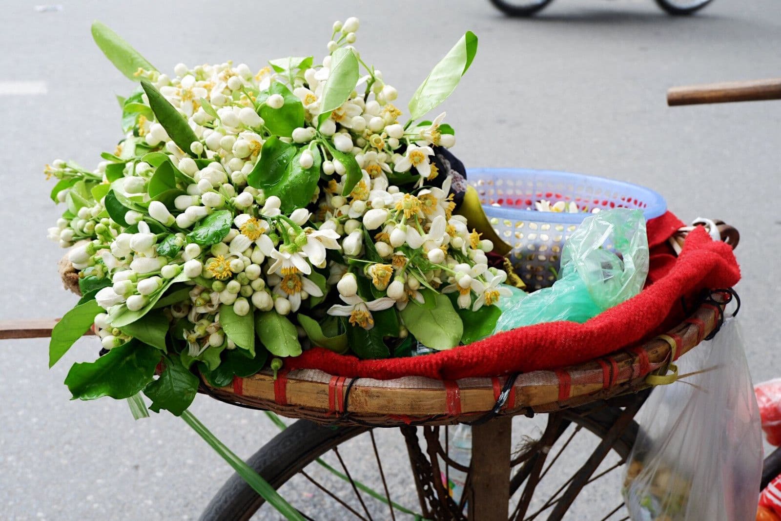
Cultural respect matters too. The geopark is home to large ethnic minority populations across multiple districts, so quieter group behavior, asking before close-up photos, and following local guidance are part of doing the route well.
Sample Itineraries
3D2N: short but iconic
Day 1: Ha Giang → Quan Ba → Yen Minh
Day 2: Yen Minh → Dong Van → Ma Pi Leng → Meo Vac
Day 3: Return to Ha Giang
This is the fastest version that still feels like the real Loop. It is intense, but it covers the most famous arc.
4D3N: best overall pace
This follows the official four-day Loop structure more closely and gives you more room for stops, markets, and a less rushed rhythm. For most people, this is the better version.
What to Pack?
Bring:
-
layers for temperature swings
-
a rain shell
-
gloves or eye protection for wind and dust
-
shoes with grip
-
a waterproof phone pouch
-
a power bank
-
motion-sickness support, even if you are only a passenger
Those are practical essentials for long mountain-road days and shifting weather. This is an inference from route conditions and current season guidance.

FAQs
What exactly is the Ha Giang Loop route?
It is a multi-day circuit in Ha Giang Province, usually starting from Ha Giang City and passing through Quan Ba, Yen Minh, Dong Van, and Meo Vac before returning.
Is Ma Pi Leng Pass part of the Loop?
Yes. It is one of the Loop’s most famous sections and is usually treated as a headline highlight between Dong Van and Meo Vac.
Do I need a permit for checkpoints in Ha Giang?
Foreign travelers are commonly advised to carry a border travel permit for the classic Loop because several key districts are in regulated border areas and checkpoints may ask for it.
What’s the best month to do the Ha Giang Loop?
There is not one single best month, but September to November and March to May are the strongest seasonal windows in current guidance.
Can I do the Loop without riding a motorbike myself?
Yes. Many travelers do it as an easy rider passenger or by car.
Conclusion
The Ha Giang Loop is a multi-day mountain circuit through Vietnam’s far north that became famous because it turns extraordinary scenery into a trip ordinary travelers can actually do. It combines UNESCO-recognized geopark landscapes, iconic roads like Ma Pi Leng Pass, and culture-rich mountain towns into a route that usually fits into 3–4 days.
If you choose the right season, travel in a safe format, and handle permits and checkpoints upfront, it becomes easy to understand why everyone keeps talking about it. The Loop is not just a place. It is one of those journeys where the road is the attraction.


Founder & Photography Guide
Specialties: Culture, landscape, portrait, hiking, active and adventurous tour
Besides my unlimited passion for traveling, a professional tour guide for over a decade, I have been taking photographs since sitting at Hanoi of the University of Culture in the early 2000s. Photography started as a hobby but it was seriously taken due to my work relations and my significant passion for the beauty of our world, especially in Southeast Asian parts such as Vietnam, Laos, Cambodia, and Myanmar.
Within a few years of taking photographs, my works began to be recognized by many reliable international publications such as AFAR Travel, The Times, and The Daily Telegraph newspaper. In addition, I continuously add to my growing profile by winning numerous major awards: 3rd Position of The Independent Photographer 2018, 1st Position of Amateur Photographer of the year 2018, Grand Prize Winner of the AFAR Travel Photography 2019, and a Gold Award of San Francisco Bay International Photography 2020.
I photograph a wide variety of subjects, from travel to landscapes to street scenes. I enjoy documenting the East’s rich cultural heritage and its land soaked in glorious sunrise or sunset light in remote and secluded spots. And, I am very happy to share my knowledge and experience with you. You can visit Luminousvietnamtour to explore tour!